I have been out walking among all the skiers from Mortensrud to Nøklevann in Marka, the forest that surrounds Oslo.

Østmarka is a forested area to the east of Oslo and part of the congregation of woodland areas known as Oslomarka. Østmarka nature reserve covers 12.5 square kilometers/4.8 square miles, while marka covers 301.1 square kilometers/116.2 square miles inside the city boroughs limits.

Nøklevann is approximately 3 kilometers/1.8 miles long lake in Østmarka, 164 meters/ 179 yards above sea level surrounded by the suburbs of Bøler and Bogerud. Its name refers to its shape, that of a key: ‘en nøkkel’ in Norwegian. The lake has a status as a reserve drinking water since 1983. Nøklevann Rowing and Paddling club is located behind the fence in the photo above.

Photograph: Kim Müller
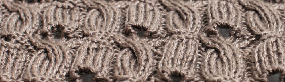
Anna Pfeifer modeling Shawl with Variations, knitted in Tussah Silk from Borgs Vävgarner from my recently published knitting book ‘To rett en vrang. Designstrikk’ taken early in September at Nøklevann.

If you are wondering what the poles are for, they lighten the ski tracks after dusk. This is a ‘Lysløype’ a lighted ski track prepared by the municipality of Oslo. The lights are turned on at the same time as the street lights in the city, at dusk and turned off at 23.00. A total of 106 kilometers/65.8 miles of lighted ski tracks are available in Oslo and quite busy on a Sunday afternoon in January. I was quick to take a photo between skiers using the tracks!
